
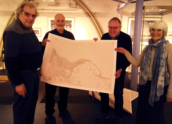
Pictured : Chair of Alnwick Civic Society Peter Reed (far left) donating one of the large-scale maps to Bailiffgate Museum and Gallery Chair Jean Humphrys
In 2021 Alnwick Civic Society undertook a project with the Historic Towns Trust, and a number of local community groups, to develop and publish a historic map of Alnwick and Alnmouth showing the historical and geographical influences on the layout of each town, medieval and later buildings, the sites of lost buildings and both towns in detail in 1918. The published map includes an introduction to the history, and a gazetteer of all key buildings and sites of interest. It is available from Bailiffgate Museum and local book shops.
The Civic Society wanted to make large-sized reproductions of an original map available to Bailiffgate Museum. They have therefore purchased twelve overlapping sheets of the Ordnance Survey Town Plan of Alnwick and Environs, surveyed in 1851.
This particular edition was chosen because it shows Alnwick in considerable detail at a time of great change:
– The Cholera outbreak had occurred two years earlier, and at a scale of two feet to the mile there is enough detail here to appreciate the overcrowded conditions that lay at the heart of Alnwick’s problems with sanitation.
-The map also shows the layout of Alnwick’s original small Railway Station, which had opened the previous year (not the larger replacement that we know today, which dates from 1887)
-The 4th Duke of Northumberland had inherited the title a few years before the map was surveyed, but Salvin’s work on the Castle had not yet begun. The map shows the earlier layout of Alnwick Castle, so features such as Prudhoe Tower and the Guest Hall do not appear.
– By 1851 Alnwick had begun to spread beyond the medieval walls, and along the major roads, but it did not extend far into the countryside, and the map shows the names of the fields where our houses would later be built. Who now lives on Bog Meadow, South Broad Close, or Far Middle Blackstone’s Close?
– The former church that now houses Bailiffgate Museum is listed by Historic England as a building of national importance. The original listing stated that it was built in 1856. Yet it appears on this map of 1851. Why? The original listing was mistaken. The church was built in 1836, so opened around 15 years before the map was surveyed.
Other initiatives of the Civic Society have included work with local schools, and development of an Alnwick Heritage Web site as a research resource and a means of individuals engaging in the region’s heritage.